
Lake Louise & Area – Banff National Park Adventure Topographic Map
Lake Louise & Area - Banff National Park Map Alberta
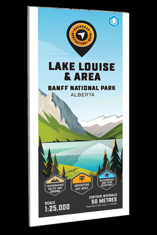
Focusing on the Lake Louise area within Banff National Park Alberta, this BRMB Adventure topographic map highlights all the roads, fishing lakes and rivers, campgrounds, backcountry campsites, viewpoints, trails for hiking, mountain biking, cross-country skiing, snowshoeing and horseback riding, downhill ski areas, picnic sites, paddling routes, waterfalls and more! No other map provides as much recreational information and topographic detail around the Lake Louise city area as this one. This Adventure map features our industry-leading topographic contours and relief shading and charts the areas of Lake Louise, Bow River, Fairview Mountain, Great Divide Trail, Lake Agnes, Lake Annette, Lake Louise Ski Area, Moraine Lake Road, Mount Aberdeen, Mount St. Piran, Mud Lake, Paradise Valley, Pipestone River, Plain of Six Glaciers Trail and more!
The printed version of the map is displayed at 1:25,000 scale on 61 x 94 cm (24 x 37
- Product Number: BRM_ADV_LOUISE_23
- Reference Product Number: - None -
- ISBN: - None -
- Date of Publication: 9/1/2023
- Folded Size: 9 inches high by 4 inches wide
- Unfolded (flat) Size: 37 inches high by 24 inches wide
- Map format: Folded
- Map type: Trade Maps - Outdoor Recreation Maps
- Geographical region: Canada
- Geographical subregion: Alberta


