
Connor Lakes - Height of the Rockies P. Park Adventure Topographic Map
Connor Lakes - Height of the Rockies Provincial Park Map BC
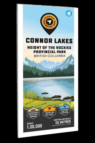
Highlighting the Connor Lakes area of Height of the Rockies Provincial Park BC, highlights all the hiking trails and recreation features in the area. Use for fishing, camping, hiking, biking, exploring, canoeing, kayaking, backcountry skiing, wildlife viewing and more! Using 1:10,000 scale data, this map features our industry-leading topographic contours and relief shading, providing you with more detail than any other recreation map of the park. Included on the map are Connor Lakes, Forsyth Creek, Goat Lake, Maiyuk Creek, Mount Ingram, Mount Lancaster, Mount Minton, Mount Marconi, ONeil Peak, Quarrie Creek and more!
The printed version of the map is displayed at 1:30,000 scale on 61 x 94 cm (24 x 37 in) paper on a durable waterproof synthetic material. The Wall Maps have been customized to display nicely and fit into common picture frame sizes so you can hang on the cabin, home or workshop wall. They are available
- Product Number: BRM_ADV_CON_23
- Reference Product Number: - None -
- ISBN: - None -
- Date of Publication: 12/1/2023
- Folded Size: 9 inches high by 4 inches wide
- Unfolded (flat) Size: 37 inches high by 24 inches wide
- Map format: Folded
- Map type: Trade Maps - Outdoor Recreation Maps
- Geographical region: Canada
- Geographical subregion: British Columbia


