
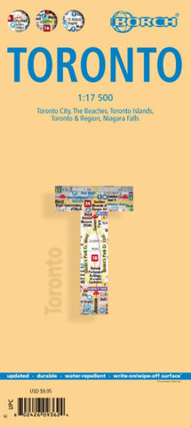
Toronto City Map
Laminated double-sided map of Toronto with enlargements of selected areas.
The main map of Toronto (at 1:17,500 scale) shows all roads, with expressways and one-way roads clearly marked. Street map detail includes skyscrapers, public buildings, hotels, department stores, parks, gardens, railway and subway lines and stations and ferry links. Symbols denote information centres, churches, beaches, museums, temples, sports facilities, embassies, theatres, sites of interest, car parks, bus stations, post offices and much more. The top 30 sights as selected by Borch are marked both and the map and on a separate legend.
There are enlargements of: Niagra Falls (1:25,000 scale); Toronto and outlying region (1:500,000); Toronto Islands (1:20,000); and the beaches of Toronto (1:17,500).
There are also insets showing Canadian administrative boundaries and time zones, general information on Toronto, a map of public transport networks.
The map comes fully-indexed.
- Product Number: BOR_TORONTO_17
- Reference Product Number: 2260858M
- ISBN: 9783866093621
- Date of Publication: 6/1/2017
- Folded Size: 9.45 inches high by 4.33 inches wide
- Unfolded (flat) Size: 25.98 inches high by 19.69 inches wide
- Map format: Folded
- Map type: Trade Maps - City Maps
- Geographical region: Canada
- Geographical subregion: Ontario


