
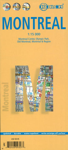
Montreal City Map
Clear, indexed, tourist street plan on durable laminated paper showing central Montréal at 1:15,000, with more generalised road map of the greater Montréal area on the reverse. Street map detail includes one-way streets, notable buildings, public buildings, shopping malls, pedestrian zones, railway and metro lines and stations, and ferry links. Symbols denote information centres, monuments, places of worship, theatres, sites of interest, car parks, hospitals, hotels, bus stations and post offices.
The main map coverage includes Pointe-St-Charles, Westmount, Mont-Royal andParc Jean-Drapeau, and a plan on the reverse at 1:6,500 shows Vieux- Montréal in more detail. There are also small plans of Parc Olympique (1:15,000) and the Ville Souterraine complex. The road map of the greater Montréal area is at 1;250,000 and shows the main road and rail communications, district names, airports, nature reserves, golf courses and other tourist sites, covering an area from Aéroport de Mirabel
- Product Number: BOR_MONTREAL_18
- Reference Product Number: 2259762M
- ISBN: 9783866093270
- Date of Publication: 6/1/2018
- Folded Size: 9.84 inches high by 4.33 inches wide
- Unfolded (flat) Size: 25.98 inches high by 19.69 inches wide
- Map format: Folded
- Map type: Trade Maps - City Maps
- Geographical region: Canada
- Geographical subregion: Quebec


