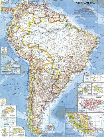
1960 South America Map
This map is the first of National Geographic's South American maps to feature the many islands in the region. Thirteen inset maps detail the individual islands or island groups. Published in February 1960 with the article Chile, the Long and Narrow Land.
- Product Number: PODHNG_AMER_S_60
- Reference Product Number: 2321451M
- ISBN: - None -
- Date of Publication: 6/1/1960
- Unfolded (flat) Size: 24.75 inches high by 19 inches wide
- Map format: Wall
- Map type: Trade Maps - Political