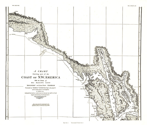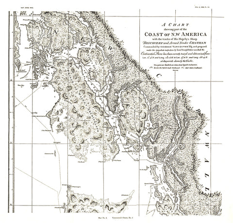
1899 A Chart showing part of the Coast of NW America Side 1
A Chart Showing Part of the Coast of NW America (Vancouvers Chart, No. 1) shows half of a chart of the coast of the Alaskan Panhandle and British Columbia including the Prince of Wales Archipelago, New Cornwall, and the Duke of Clarences Strait. An antique black and white map perfect for framing, this map was published in November 1899 as half of a two-map set with the article The Alaskan Boundary.
- Product Number: PODHNG_US_NW_99_1
- Reference Product Number: 2321662M
- ISBN: - None -
- Date of Publication: ###############################################################################################################################################################################################################################################################
- Unfolded (flat) Size: 18 inches high by 18.75 inches wide
- Map format: Wall
- Map type: Trade Maps - Wall Art
- Geographical region: United States
- Geographical subregion: Washington