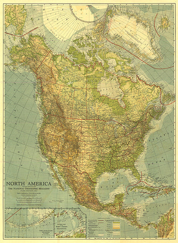
1924 North America Map
Published in May 1924, this beautiful map of North America is colored to indicate elevation and ocean depth, and features boldly drawn state, provincial, and international boundaries. Inset maps of the Aleutian Islands and the eastern part of the West Indies complete this attractive presentation of the region.
- Product Number: PODHNG_AMER_N_24
- Reference Product Number: 2321442M
- ISBN: - None -
- Date of Publication: 6/1/1924
- Unfolded (flat) Size: 38 inches high by 27.75 inches wide
- Map format: Wall
- Map type: Trade Maps - Political