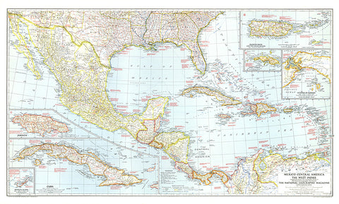
1939 Mexico, Central America and the West Indies Map
The map of Mexico, Central America and the West Indies published in National Geographic Magazine in December 1939 accompanied the article Puerto Rico: Watchdog of the Caribbean. A wealth of historical notes dot this map, including the dates of the the founding of many cities, the explorers who named them, Aztec and Maya sites, and more.
- Product Number: PODHNG_AMER_C_39
- Reference Product Number: 2321541M
- ISBN: - None -
- Date of Publication: 6/1/1939
- Unfolded (flat) Size: 25 inches high by 41.5 inches wide
- Map format: Wall
- Map type: Trade Maps - Political