Free Shipping on map orders over $300
Lake Tahoe, New Melones Lake Fishing Map
Lake Talquin Fishing Map
Lake Tapps Fishing Map
LAKE TAUPO (TAUPOMOANA): LAKE TAUPO / HOROMATANGI REEF / TAPUAEHARURU BAY / WAIKATO RIVER (232) by Land Information New Zealand (LINZ)
Lake Texoma Fishing Map
Lake Thunderbird Fishing Map
Lake Tohopekaliga Fishing Map
Lake Tomahawk Fishing Map (Oneida Co)
Lake Travis Fishing Map
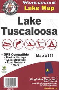
Lake Tuscaloosa, AL Fishing Map
Lake Vermilion Fishing Map
Lake Waconia Fishing Map
LAKE WAKATIPU (252) by Land Information New Zealand (LINZ)
Lake Wallenpaupack Fishing Map
Lake Wappapello Fishing Map
Lake Washington Fishing Map
Lake Washington Ship Canal and Lake Washington (18447-30) by NOAA
Lake Wawasee Fishing Map
Lake Whitney Fishing Map
Lake Wilhelm Fishing Map
Lake Winnebago Fishing Map (Winnebago Co)
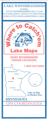
Lake Winnibigoshish Fishing Map
LAKE WINNIBIGOSHISH Fishing Map
Lake Winnipegosis/Lac Winnipegosis by Canadian Hydrographic Service
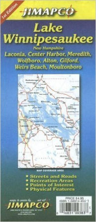
Lake Winnipesaukee Fishing Map
Lake Winnipesaukee, New Hampshire by Jimapco
Lake Wisconsin Fishing Map (Columbia Co)
Lake Wissota Fishing Map (Chippewa Co)
Lake Wylie Fishing Map (NC/SC)
Lakeland and Winter Haven, Florida by GM Johnson
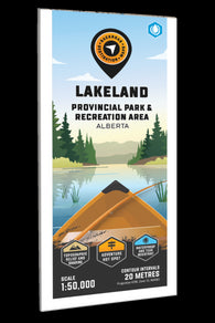
Lakeland Provincial Recreation Area Adventure Topographic Map
Lakes Bob Sandlin, Monticello & Cypress Springs fishing map
Lakes Castaic, Piru, & Pyramid Fishing Map
Lakes Pontchartrain and Maurepas (11369-48) by NOAA
LAKSEFJORDEN, KUNES-TØMMERVIK-MÅRØYA (107) by Kartverket
Lambert Channel and/et Cache Point Channel by Canadian Hydrographic Service
Lamotrek, Elato And Olimarao Atolls (Caroline Islands) (NGA-81251-1) by National Geospatial-Intelligence Agency
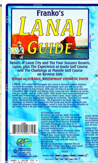
Lanai Adventure Guide by Frankos Maps Ltd.
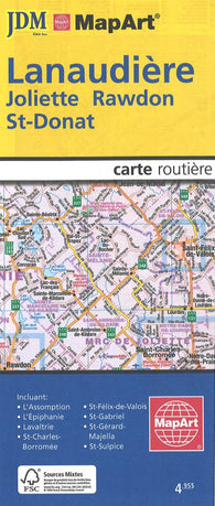
Lanaudiere, Joliette, Rawdon and St-Donat Street Map
Lancaster Sound and/et Admiralty Inlet by Canadian Hydrographic Service