Free Shipping on map orders over $300
Congo : Democratic Republic
Congo by Cartographia
Congo Road Map
Connecticut / Massachusetts / Rhode Island
Connecticut and Rhode Island
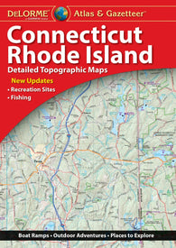
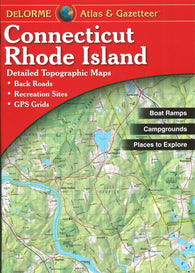
Connecticut and Rhode Island Atlas and Gazetteer
Connecticut and Rhode Island Atlas and Gazetteer by DeLorme
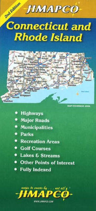
Connecticut and Rhode Island by Jimapco
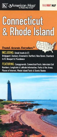
Connecticut and Rhode Island by Kappa Map Group
Connecticut and Rhode Island by Rand McNally
Connecticut and Rhode Island, Easy to Fold
Connecticut and Rhode Island, Easy to Fold by Rand McNally
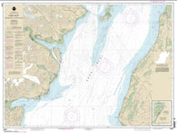
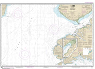
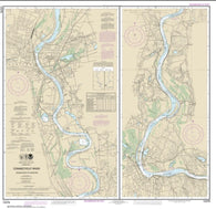
Connecticut River Bodkin Rock to Hartford (12378-15) by NOAA
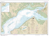
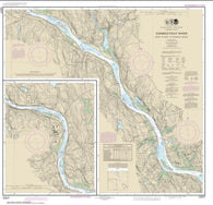
Connecticut River Deep River to Bodkin Rock (12377-15) by NOAA
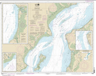
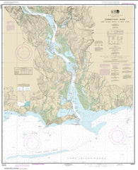
Connecticut River Long lsland Sound to Deep River (12375-22) by NOAA
Connecticut, Central and Eastern, Street Atlas by Kappa Map Group
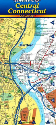
Connecticut, Central, Quickmap by Jimapco
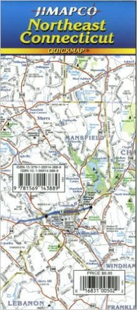
Connecticut, Northeast, Quickmap by Jimapco
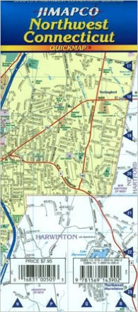
Connecticut, Northwest, Quickmap by Jimapco
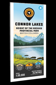
Connor Lakes - Height of the Rockies P. Park Adventure Topographic Map
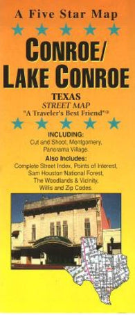
Conroe and Lake Conroe, Texas by Five Star Maps, Inc.
Constana City Map
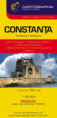
Constanta, Bulgaria by Cartographia
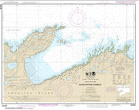
Constantine Harbor, Amchitka Island (16446-9) by NOAA
Continental Divide Trail [laminated]
Contra Costa : central east : city street map = Concord : Antioch : Walnut Creek : city street map
Contra Costa, Central and East, California by GM Johnson
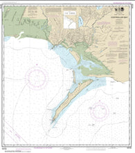
Controller Bay (16723-16) by NOAA
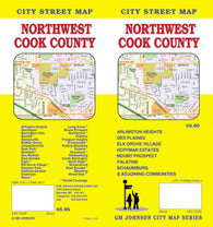
Cook County, Northwest, Illinois by GM Johnson
Cook Inlet-Anchor Point to Kalgin Island; Ninilchik Harbor (16661-6) by NOAA
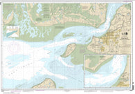
Cook Inlet-Approaches to Anchorage; Anchorage (16665-10) by NOAA
Cook Inlet-Cape Elizabeth to Anchor Point (16647-4) by NOAA
Cook Inlet-East Foreland to Anchorage; North Foreland (16663-9) by NOAA
Cook Inlet-Kalgin Island to North Foreland (16662-9) by NOAA
Cook Inlet-northern part (16660-31) by NOAA
Cook Inlet-southern part (16640-25) by NOAA
Cook Island Fish Card by Frankos Maps Ltd.
COOK ISLANDS (93) by Land Information New Zealand (LINZ)
COOK STRAIT (46) by Land Information New Zealand (LINZ)
Cool Camping Australia: East Coast


![Buy map Continental Divide Trail [laminated]](http://store.yellowmaps.com/cdn/shop/products/big_013f30d4-56a4-4d14-be71-701acfcd4c44_195x.jpg?v=1706689189)