Free Shipping on map orders over $300
Colorado, Easy to Fold by Rand McNally
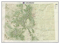
Colorado, Expanded by GTR Mapping
Colorado, Geologic by GTR Mapping
Colorado, Ghost Towns, 6-Map Set, Then and Now by Northwest Distributors
Colorado, Gold and Gems, 5-Map Set, Then and Now by Northwest Distributors
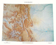
Colorado, Physical Wall Map by Raven Maps
Colorado, Physical, Laminated Wall Map by Raven Maps
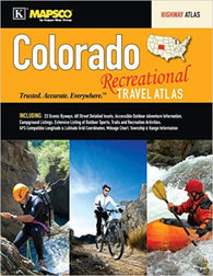
Colorado, Recreational Travel Atlas by Kappa Map Group
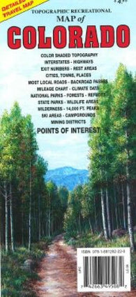
Colorado, Topographic Recreational Map by GTR Mapping
Colorado, Tubed by National Geographic Maps
Colorados Top Fishing and Hunting Maps Guidebook
Colour Map - Version 2 World Map
Colour Map - Version 3 World Map
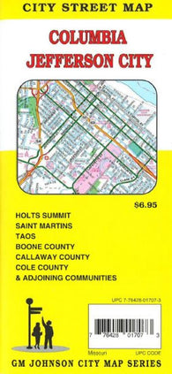
Columbia : Jefferson City : city street map = Jefferson City : Columbia : city street map
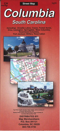
Columbia : South Carolina by The Seeger Map Company Inc.
Columbia and Jefferson City, MO by GM Johnson
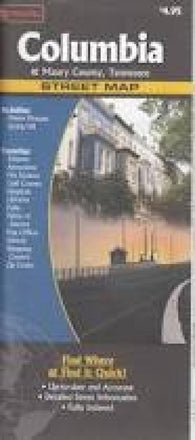
Columbia and Maury County, Tennessee by The Seeger Map Company Inc., NorthernStar (Firm)
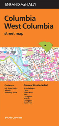
Columbia and West Columbia, South Carolina by Rand McNally
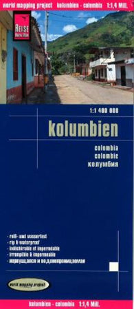
Columbia by Reise Know-How Verlag
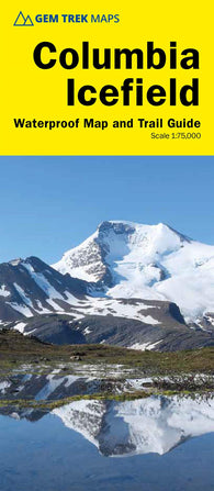
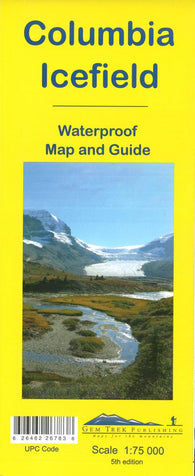
Columbia Icefield Map (6th edition)
Columbia Icefield Map and Guide (waterproof) by Gem Trek
Columbia Icefields | Ski Touring | by GoTrekkers
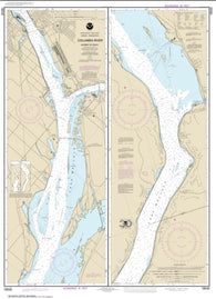
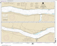
Columbia River Alderdale to Blalock Islands (18537-11) by NOAA
Columbia River Blalock Islands to McNary Dam (18539-9) by NOAA
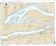
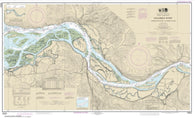
Columbia River Bonneville To The Dalles; The Dalles; Hood River (18532-21) by NOAA
Columbia River Crims Island to Saint Helens (18524-37) by NOAA
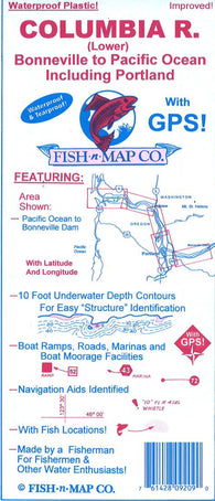
Columbia River Fishing Map
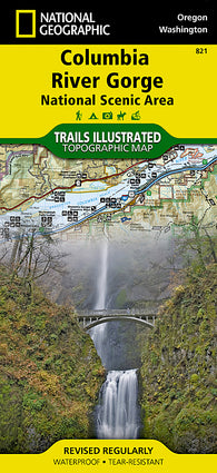
Columbia River Gorge National Scenic Area, Map 821 by National Geographic Maps
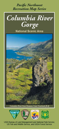
Columbia River Gorge: National Scenic Area
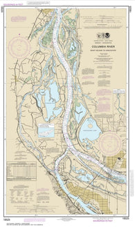
Columbia River Harrington Point to Crims Island (18523-58) by NOAA
Columbia River John Day Dam to Blalock (18535-12) by NOAA
Columbia River Juniper to Pasco (18542-10) by NOAA
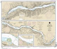
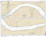
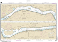
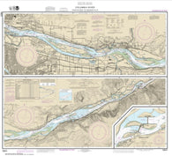
Columbia River Lake Celilo (18533-12) by NOAA
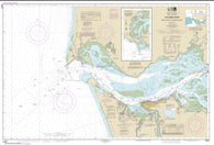
Columbia River Pacific Ocean to Harrington Point; Ilwaco Harbor (18521-75) by NOAA
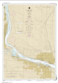
Columbia River Pasco to Richland (18543-2) by NOAA
Columbia River Saint Helens to Vancouver (18525-37) by NOAA
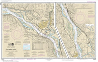
Columbia River Sundale to Heppner Junction (18536-11) by NOAA
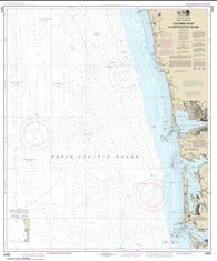
Columbia River to Destruction Island (18500-30) by NOAA
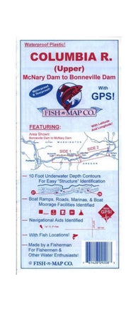
Columbia River Upper, McNary Dam to Bonneville Dam
Columbia River Vancouver to Bonneville; Bonneville Dam (18531-23) by NOAA