Free Shipping on map orders over $300
120F11 Clements Markham River Canada topo map, 1:50,000 scale
120F13 Mount Hornby Canada topo map, 1:50,000 scale
120F14 Gypsum River Canada topo map, 1:50,000 scale
120F15 Mount Disraeli Canada topo map, 1:50,000 scale
120G03 Parr Bay Canada topo map, 1:50,000 scale
120G04 Mount Cooper Key Canada topo map, 1:50,000 scale
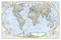
125th Anniversary World Map, Laminated by National Geographic Maps
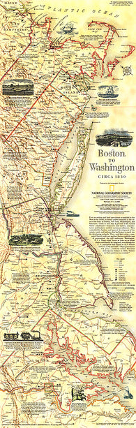
1830 Boston To Washington Circa 1830 Map
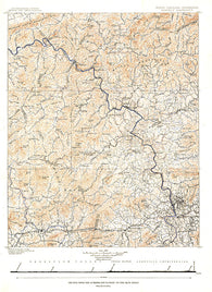
1889 North Carolina Tennessee Cumerberland Blue Ridge
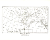
1891 Alaska Map
1892 Carte Generale Des Decouvertes De Lamiral De Fonte 1752 Map
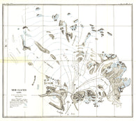
1892 Muir Glacier, Alaska Map
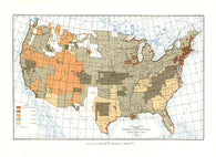
1892 United States of America Map
1893 Chronicon Nurembergense 1493 Map
1893 Ruysch 1508 Map
1896 Submarine Cables of the World Map
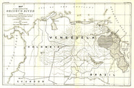
1896 Valley of the Orinoco River Map
1898 Gold and Coal Fields of Alaska Map
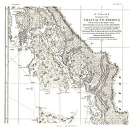
1899 A Chart showing part of the Coast of NW America Side 1
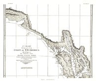
1899 A Chart showing part of the Coast of NW America Side 2
1899 Seat of War in Africa Map
1899 Theatre of Military Operations in Luzon
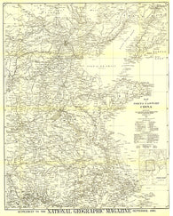
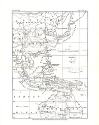
1900 Map of North Eastern China
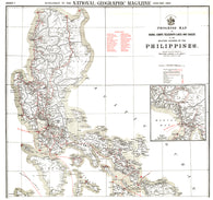
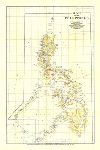
1900 Philippines Map
1902 Philippines Military Telegraph Lines North Map
1902 Philippines Military Telegraph Lines South Map
1903 Pilot Chart of the North Atlantic Ocean Map
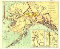
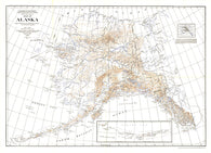
1904 Alaska Map
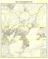
1904 Korea and Manchuria Map
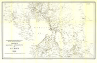
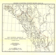
1904 Map Showing Award of Alaska Boundary Tribunal of 1896
1905 Chart of the World on Mercators Projection
1905 Kirin Harbin Vladivostok Map
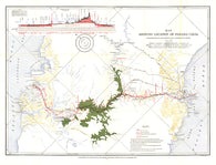
1905 Map Showing Location of Panama Canal 1899-1902
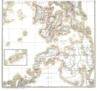
1905 Philippines Map
1906 Cuba Index
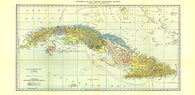
1906 Cuba Map
1907 North Pole Regions Map
1909 Africa Map
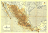
1911 Mexico Map
1912 Birds Eye View of the Panama Canal Map