
Ontario Fishes: A Folding Pocket Guide
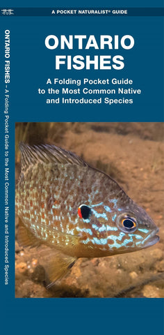
At over one million square kilometers and with an intricate patchwork of lakes, streams, and rivers, Ontario has so much to offer fish enthusiasts. The province comprises three major watersheds?Great Lakes-St. Lawrence, Southwestern Hudson Bay, and Nelson River?and borders four of the five Great Lakes. In the various waterways and water bodies, popular species like Brook Trout, Walleye, Yellow Perch, Smallmouth Bass, and Brown Bullhead can be found. To become better acquainted with these and other familiar species, it helps to have a reliable reference. This beautifully illustrated guide features 70 of the provinces most common native and introduced freshwater species, as well as descriptions of fish anatomy, a key to field marks, a watershed map, and each species conservation status. Laminated for durability, this lightweight, 12-panel folding pocket guide is the perfect companion for educators, learners, naturalists, and anglers who wish to sharpen their identification skills and p
- Product Number: WDP_ON_FISH_21
- Reference Product Number: - None -
- ISBN: 9781620054635
- Date of Publication: 8/7/2021
- Folded Size: 8.25 inches high by 3.75 inches wide
- Unfolded (flat) Size: 8.25 inches high by 22.5 inches wide
- Map format: Folded
- Map type: Thematic - Reference Materials
- Geographical region: Canada
- Geographical subregion: Ontario


