
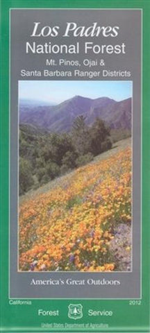
Mt. Pinos, Ojai & Santa Barbara Ranger Districts Map - Los Padres National Forest Map
Los Padres National Forest encompasses nearly two million acres in the beautiful Coast and Transverse Mountain Ranges of central California. The forest stretches across almost 220 miles north to south from the spectacular Big Sur coast in Monterey County to the western edge of Los Angeles County and includes two separate land divisions. Elevations in the forest range from sea level to 8,800 feet. Los Padres is often thought of as brush country, but in fact consists of an amazing variety of landscapes. Major ecosystems include chaparral (68% of the land area), oak woodland, mixed conifer, coast redwood, grassland, pinyon-juniper, semi-desert scrub and riparian. The forest provides habitat for about 500 animal species and nearly 1200 plant species.
- Product Number: USFS_LPNF_MP_8
- Reference Product Number: 2301896M
- ISBN: 9781593514723
- Date of Publication: 6/1/2008
- Folded Size: 9 inches high by 4 inches wide
- Unfolded (flat) Size: 48 inches high by 27 inches wide
- Map format: Folded
- Map type: Trade Maps - Park
- Geographical region: United States
- Geographical subregion: California


