
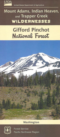
Mt. Adams, Indian Heaven & Trapper Creek Wildernesses Map, Gifford-Pinchot National Forest Map
Shaded relief, with 40-foot contour lines. Mount Adams, at 12,276 feet, is Washingtons second highest peak. The western half of the mountain is designated Wilderness.
- Product Number: USFS_GPNF_WILD_15
- Reference Product Number: 2302182M
- ISBN: 9781628115512
- Date of Publication: 6/1/2015
- Folded Size: 9 inches high by 4 inches wide
- Unfolded (flat) Size: 32 inches high by 36 inches wide
- Map format: Folded
- Map type: Trade Maps - Park
- Geographical region: United States
- Geographical subregion: Washington


