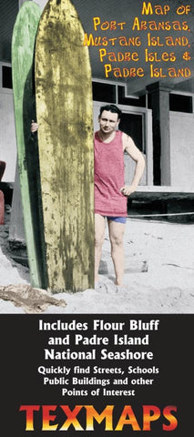
Map of Port Aransas, Mustang Island, Padre Isles & Padre Island
C
olor indexed map of Padre and Mustang Islands, including Port Aransas, Flour Bluff, Padre Isles and Padre Island National Seashore.
Features include Points of interest, City Limits, Schools, Parks, Golf Courses, Government Buildings and more. Shows the locations of Mustang Island State Park, Packery Channel, Bob Hall Pier, Padre Balli Park, Free Beach Parking Areas, Corpus Christi Naval Air Station, Snoopys, Marker 37, Boat Hole, Pita Island, Shamrock Island, Island Moorings, Port Royal, Mayan Princess, Horace Caldwell Pier and much more!
- Product Number: TEX_PADRE_7
- Reference Product Number: 2037721M
- ISBN: 9780783434315
- Date of Publication: 6/1/2007
- Folded Size: 9.45 inches high by 3.94 inches wide
- Unfolded (flat) Size: 23.62 inches high by 27.56 inches wide
- Map format: Folded
- Map type: Trade Maps - Road
- Geographical region: United States
- Geographical subregion: Texas


