
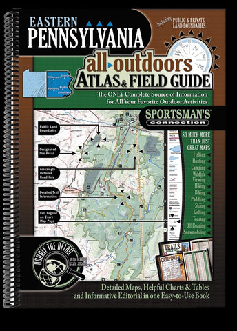
Eastern Pennsylvania All-Outdoors Atlas & Field Guide
The Eastern Pennsylvania All-Outdoors Atlas & Field Guide contains beautiful, full-color maps at twice the scale of other regional atlases, which means four times the detail, and 100 times the information through informative charts, tables and helpful editorial for all your favorite outdoor activities including fishing, hunting, camping, hiking, biking, off-roading, paddling, skiing, golfing and wildlife viewing.
This large format, 15 x 11”, 160-page, spiral bound, full-color book is your complete guide to all of the outdoor activities in the area with unmatched information including public land boundaries, hunting areas, designated use areas, access to streams and lakes, designated trout fisheries, public and private camping locations, national, state, and county parks, recreation areas, state and national forests, snowmobile, off-roading, biking, hiking, equestrian, and skiing trails, canoe routes, wildlife viewing destinations, scenic drives, waterfalls, covered bridges, histor
- Product Number: SPCO_PA_EASTERN_AT_19
- Reference Product Number: - None -
- ISBN: 9781885010766
- Date of Publication: 6/1/2019
- Unfolded (flat) Size: 15 inches high by 11.5 inches wide
- Map format: - None -
- Map type: Atlases - Popular/Travel
- Geographical region: United States
- Geographical subregion: Pennsylvania


