
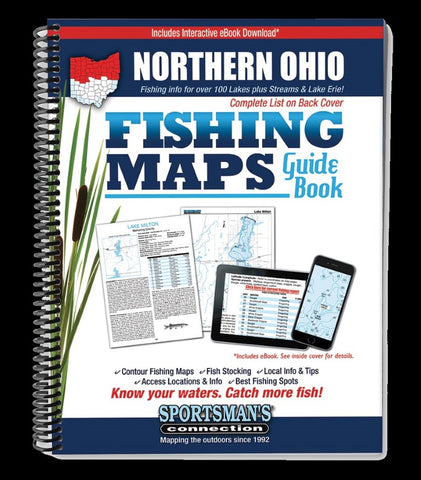
Northern Ohio Fishing Map Guide
The Northern Ohio Fishing Map Guide is a thorough, easy-to-use collection of detailed contour lake maps, fish stocking data, and the best fishing spots and tips from area experts.
Fishing maps, detailed area road maps and exhaustive fishing information for lakes across the state are provided in this handy, 224-page, 8 ½ x 11” spiral-bound volume.
Lake maps and fishing information for Lake Erie and over 130 inland lakes, reservoirs, and streams in the northern half of Ohio - from Grand Lake St. Marys down to many of the small but well-stocked city reservoirs and MetroPark lakes. Includes detailed close-up maps for the western basin of Lake Erie.
Whether you’re Grand Lake St. Marys for perch, Sandusky Bay for walleyes or exploring the Lake La Su An Wildlife Area lakes, youll find all the information you need to enjoy a successful day out on the water on one of Ohio’s many excellent fisheries.
Know your waters. Catch more fish with the Northern Ohio Fishing Map Gu
- Product Number: SPCO_OH_NORTHERN_16
- Reference Product Number: - None -
- ISBN: 9781885010469
- Date of Publication: 6/1/2016
- Unfolded (flat) Size: 11 inches high by 8.5 inches wide
- Map format: - None -
- Map type: Trade Maps - Fishing
- Geographical region: United States
- Geographical subregion: Ohio


