
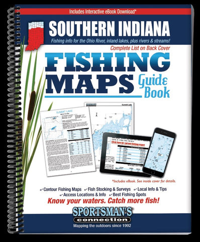
Southern Indiana Fishing Map Guide
The Southern Indiana Fishing Map Guide is a thorough, easy-to-use collection of detailed contour lake maps, fish stocking and survey data, and the best fishing spots and tips from area experts.
Fishing maps, detailed area road maps and exhaustive fishing information for lakes and streams in the southern portion of the state are provided in this handy, 240-page, 8 ½ x 11” spiral-bound volume.
The guide is loaded with lake maps and fishing information for inland lakes and reservoirs, plus Ohio River coverage. Some notable lakes included are Eagle Creek Reservoir, Monroe, Patoka, Maxinkuckee, Shafer, Brookville, Cecil M. Harden, Cagles Mill, state park lakes, Fish & Wildlife Areas, and city reservoirs.
Whether youre catfishing on the Wabash River, throwing topwaters for largemouth bass on Patoka Lake, casting crankbaits for stripers on Cecil M. Harden, or dunking a worm under a bobber for bluegills on John Hay, youll find all the information you need to enjoy a successfu
- Product Number: SPCO_IN_SOUTHERN_16
- Reference Product Number: - None -
- ISBN: 9781885010490
- Date of Publication: 6/1/2016
- Unfolded (flat) Size: 11 inches high by 8.5 inches wide
- Map format: - None -
- Map type: Trade Maps - Fishing
- Geographical region: United States
- Geographical subregion: Indiana


