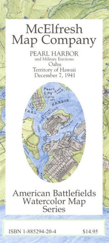
Pearl Harbor : and military environs : Oahu : territory of Hawaii : December 7, 1941
Folded historical map of Pearl Harbor in the American Battlefields Watercolor Map Series. Shows military sites or dense population areas, land ownership, roads, and topographical features. Relief shown by hachures, shading, and spot heights. This is a reconstruction map of wartime Oahu, circa 1941. On verso: reproductions of 17 postcard views of the United States Armed Forces, circa 1941.
- Product Number: MEM_PEARL_1
- Reference Product Number: 2159229M
- ISBN: 9781885229427
- Date of Publication: 6/1/2001
- Folded Size: 9.06 inches high by 3.94 inches wide
- Unfolded (flat) Size: 18.5 inches high by 16.93 inches wide
- Map format: Folded
- Map type: Trade Maps - Historical
- Geographical region: United States
- Geographical subregion: Hawaii


