
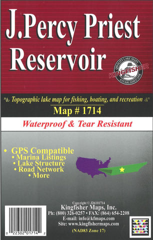
J. Percy Priest Lake, TN Fishing Map
Waterproof lake map of J. Percy Priest, TN showing access areas, facilities, water hazards, and water depths at 10-foot contour intervals.
- Product Number: KGF_PERCY_TN_
- Reference Product Number: 2297120M
- ISBN: - None -
- Folded Size: 9.06 inches high by 5.91 inches wide
- Unfolded (flat) Size: 18.11 inches high by 24.02 inches wide
- Map format: Folded
- Map type: Trade Maps - Fishing
- Geographical region: United States
- Geographical subregion: Tennessee


