
Offshore Golden Gate-North Section Fishing Map
Offshore Golden Gate• North Section (with GPS)
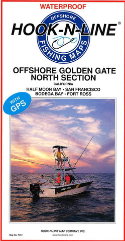
This two-sided offshore saltwater fishing map covers the Pacific Ocean offshore of the Golden Gate from Half Moon Bay north to Bodega Bay and Fort Ross. The map shows latitude-longitude lines, depth contours, islands, sea mounts, underwater canyons and well-marked fishing locations. The reverse side of this map has listings for the fishing locations with GPS coordinates, water depths and fish species caught for different times of the year.
- Product Number: HNL_F201_N_OFF_GG
- Reference Product Number: - None -
- ISBN: - None -
- Folded Size: 13 inches high by 6.75 inches wide
- Unfolded (flat) Size: 37.5 inches high by 25 inches wide
- Map format: Folded
- Map type: Trade Maps - Fishing
- Geographical region: United States
- Geographical subregion: California


