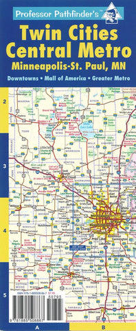
Twin Cities central metro : Minneapolis-St. Paul, MN
Areas of detail include central metro, SE Minnesota and NW Wisconsin, greater metro, both Minneapolis and St. Paul downtowns, and the I-494 strip.
Index includes cities, major hotels, transportation, colleges, theaters & venues, casinos, shopping centers, ski areas, museums, zoos, fairs & amusement parks, libraries, golf courses, and parks.
Six-panel accordion-style fold for easy open/close. Printed on card stock and UV coated for durability.
- Product Number: HED_PP_TC_MET_21
- Reference Product Number: - None -
- ISBN: 9781885508867
- Date of Publication: 6/1/2021
- Folded Size: 10.24 inches high by 4.33 inches wide
- Unfolded (flat) Size: 25.59 inches high by 10.24 inches wide
- Map format: Folded
- Map type: Trade Maps - City Maps
- Geographical region: United States
- Geographical subregion: Minnesota


