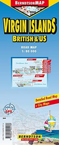
Virgin Islands / US and British
Paper Map Covering Charlotte Amalie, Cruz Bay, Spanish Town, Christiansted, Frederiksted, Road Town
- Product Number: GMJ_VIRGIN_10
- Reference Product Number: - None -
- ISBN: 9783865925176
- Date of Publication: 6/1/2010
- Folded Size: 9 inches high by 4 inches wide
- Unfolded (flat) Size: 27 inches high by 19.5 inches wide
- Map format: Folded
- Map type: Trade Maps - Road
- Geographical region: Canada
- Geographical subregion: British Columbia

