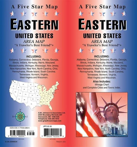
Eastern United States : area map
Road map of the Eastern United States with legend. On reverse map continued with distance chart, cities and towns index.
Map Coverage Area: Alabama, Connecticut, Delaware, Florida, Georgia, Illinois, Indiana, Kentucky, Maine, Maryland, Massachusetts, Michigan, Mississippi, New Jersey, New Hampshire, New York, North Carolina, Ohio, Pennsylvania, Rhode Island, South Carolina, Tennessee, Vermont, Virginia, West Virginia and Wisconsin.
- Product Number: FS_USA_E_22
- Reference Product Number: - None -
- ISBN: 9781774492994
- Date of Publication: 6/1/2022
- Folded Size: 9.06 inches high by 3.94 inches wide
- Unfolded (flat) Size: 36.81 inches high by 26.57 inches wide
- Map format: Folded
- Map type: Trade Maps - Road
- Geographical region: United States
- Geographical subregion: Alabama,Connecticut,Delaware,District of Columbia,Florida,Georgia,Illinois,Indiana,Kentucky,Maine,Maryland,Massachusetts,Michigan,Mississippi,New Hampshire,New Jersey,New York,North Carolina,Ohio,Pennsylvania,Rhode Island,South Carolina,Tennessee,Vermont,Virginia,West Virginia,Wisconsin


