
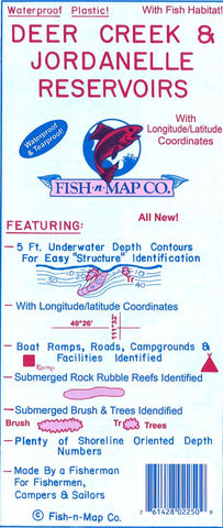
Deer Creek and Jordanelle (Utah) fishing map
Fish-N-Map Company underwater topography maps are printed on a waterproof, tear-resistant material and are folded to 9 x 4. When opened, each map is approximately 3 x 2 in size and is printed on both sides. These maps feature waterproof plastic paper; underwater depth contours; fish locations; latitude and longitude for GPS; often multiple lakes on one map; boat ramps; recreational facilities; and much more.
Detroit Lake was created in 1953 when the Army Corp. of Engineers completed the Detroit Dam project. Detroit Lake is part of the Oregon Parks and Recreation Department and is located in Oregons Cascade Mountains.
- Product Number: FNM_DEERCREEK_UT_17
- Reference Product Number: 2297224M
- ISBN: - None -
- Date of Publication: 6/1/2017
- Folded Size: 9.06 inches high by 3.94 inches wide
- Unfolded (flat) Size: 23.62 inches high by 35.83 inches wide
- Map format: Folded
- Map type: Trade Maps - Fishing
- Geographical region: United States
- Geographical subregion: Utah


