
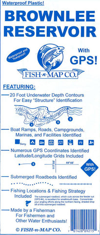
Brownlee Reservoir Fishing Map
This Fish-N-Map Company underwater topography map is printed on waterproof, tear-resistant material and features 20 underwater depth contours, fish locations, latitude and longitude for GPS, boat ramps, recreational facilities, and much more.
- Product Number: FNM_BROWN_7
- Reference Product Number: 2301277M
- ISBN: - None -
- Date of Publication: 6/1/2007
- Folded Size: 9.06 inches high by 3.94 inches wide
- Unfolded (flat) Size: 23.62 inches high by 35.83 inches wide
- Map format: Folded
- Map type: Trade Maps - Fishing
- Geographical region: United States
- Geographical subregion: Idaho


