
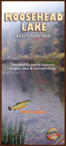
Moosehead Lake Adventure Map
A beautiful and detailed map of Maine’s largest lake. Features dramatic shaded relief. Shows highways, main roads, minor roads, unimproved roads and trails, town and place names. Locates gates, ranger stations, boat ramps, state parks, reserves, campsites, fishing hot spots, hiking trails and more. Coverage includes Seboomook, Ragged and Brassua Lakes, Indian and Wilson Ponds. Scale approx. 1:40,000 or 1 inch = .6 miles.
Side two offers Moosehead fish and wildlife identification guides, history and vintage photos.
18.5” x 26”, folded to 4” x 9”.
- Product Number: FM_MOOSEHEAD_23
- Reference Product Number: - None -
- ISBN: 9781601905000
- Date of Publication: 4/1/2023
- Folded Size: 9 inches high by 4 inches wide
- Unfolded (flat) Size: 18.5 inches high by 26 inches wide
- Map format: Folded
- Map type: Trade Maps - Fishing
- Geographical region: United States
- Geographical subregion: Maine


