
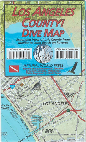
Frankos map of Los Angeles County coast diving : details of Palos Verdes Peninsula on reverse side of map
Recreational map for divers, snorkelers, beach lovers, kayakers, boaters, explorers and others who love the L.A. County, California coast. Printed on durable waterproof paper in full color. Describes conditions and wildlife to be found at each site. Convenient size, easy to refold. Numbered highways and streets labeled directly on the map. Includes illustrations of kelp forest creatures (sea lions, fish, starfish, etc.) with common names. On reverse: magnified inset of Palos Verdes Peninsula. Icons locate popular scuba spots, good snorkeling, favorite surfing beaches, kayak put-ins. Includes detail map of San Pedro Bay.
- Product Number: FM_LOS_AN_COA_
- Reference Product Number: - None -
- ISBN: 9781939699374
- Folded Size: 7.09 inches high by 4.33 inches wide
- Unfolded (flat) Size: 21.06 inches high by 13.98 inches wide
- Map format: Folded
- Map type: Trade Maps - Travel
- Geographical region: United States
- Geographical subregion: California


