
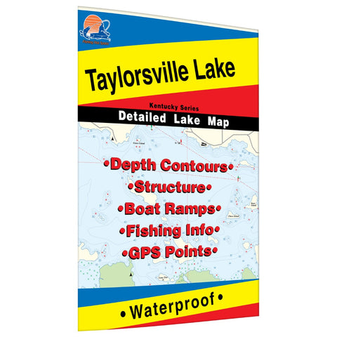
Taylorsville Lake Fishing Map
The maps show lake bottom contours, shoreline features, roads leading to the lakes, boating facilities along the lake shore, and much more. Printed on tear-resistant, waterproof synthetic material.
- Product Number: FHS_TAYLORSVILLE_
- Reference Product Number: L110
- ISBN: - None -
- Map format: Folded
- Map type: Trade Maps - Fishing
- Geographical region: United States
- Geographical subregion: Kentucky


