
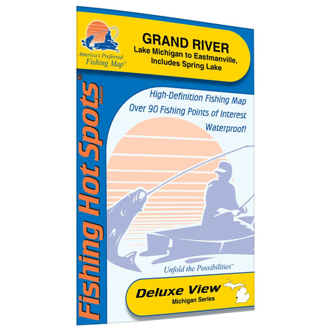
Grand River (Lk Michigan to Eastmanville & Spring Lk) Fishing Map
Spring Lake and the river bayous offer top-notch largemouth bass action. The walleye fishing is improving. This map includes approximately 16.5 river miles from Lake Michigan upstream to the Gravel Pits.Featured Species: Walleye, Northern Pike, Largemouth Bass, Bluegill and PumpkinseedMap Features:Lake ProfileFishery InformationFishing Tips and Techniques10Accesses with Driving Directions44Proven Fishing Areas Marked
- Product Number: FHS_GRAND_RIVER_
- Reference Product Number: M312
- ISBN: - None -
- Map format: Folded
- Map type: Trade Maps - Fishing
- Geographical region: United States
- Geographical subregion: Michigan


