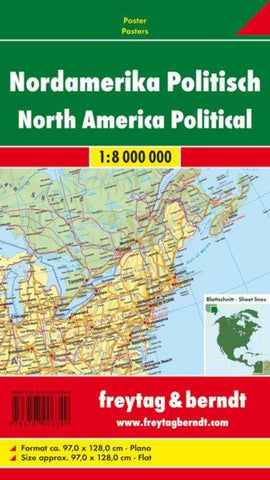
North America wall map
Explore North America with this Freytag & Berndt map. The best way to plan your trip, prepare your itinerary, and to travel independently in this country. As with all Freytag & Berndt maps the cartography is clear and detailed with the topography shown by relief shading with plenty of spot heights.
This map includes coverage of North America, including Canada and Alaska.
Freytag & Berndt maps make good use of an icon system. Icons show tourist information such as:
•Nature reserves
•Lakes and rivers
•All capitol cities highlighted
Distances between points are shown as well as indications of steep gradients, all distances are in kilometers. The legend is in several languages including English.
- Product Number: FB_N_AMER_WA_9
- Reference Product Number: 2274597M
- ISBN: 9783707906349
- Date of Publication: 6/1/2009
- Folded Size: 39.37 inches high by 1.97 inches wide
- Unfolded (flat) Size: 39.37 inches high by 55.12 inches wide
- Map format: Wall
- Map type: Trade Maps - Political
- Geographical region: Canada,Mexico,United States

