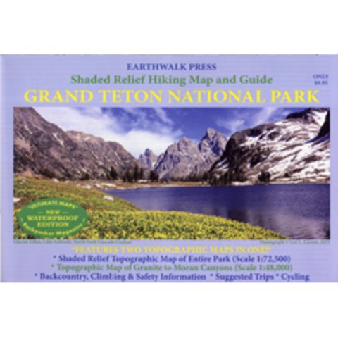
Grand Teton National Park, Wyoming, waterproof
Shaded Relief Hiking Map and Guide of Grand Teton National Park, WY.
Shaded Relief Topographic Map of the Entire Park (Scale 1:72500)
Topographic Map of Granite to Moran Canyons (Scale 1:48000)
Backcountry and climbing regulations, trail milege and suggestions of how to enjoy your visit with minimum impact into the delicate park ecology.
Printed on waterproof and tear resistant material.
- Product Number: E_GRAND_TET_1_17
- Reference Product Number: - None -
- ISBN: 9780915749065
- Date of Publication: 6/1/2017
- Folded Size: 6.5 inches high by 9.45 inches wide
- Unfolded (flat) Size: 25.59 inches high by 37.8 inches wide
- Map format: Folded
- Map type: Trade Maps - Park
- Geographical region: United States
- Geographical subregion: Wyoming


