
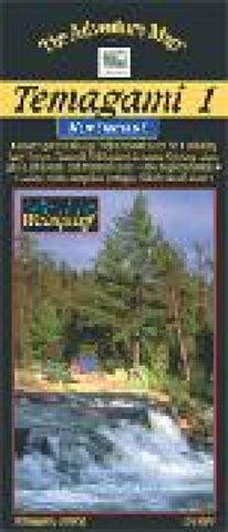
Temagami #1 - Northeast area map
One of the worlds great paddling areas, Temagami provides thousands of lakes and rivers among the rocky forested hills of northern Ontario. Our map covers the Northeast quadrant of the main region, and is bounded by Maple Mountain to the west, Latchford and Hwy 11 to the east, Wakimika Lake, Sandy Inlet and Red Squirrel Road to the south and the Spray Creek/Big Spring Lake/Montreal River junction to the north. In addition to the extraordinary contour, vegetation and water detail on this map weve also included most of the formerly official campsites, portages, public hiking trails and access points, as well as historical features, primary fish species by lake, lake elevations, access roads, island numbers and much, much more. Similar in character to our very popular Algonquin series, this map, at 1:80,000 scale, and 24x25, with a contour interval of 20m, has considerably more detail than government topos or any other map of the area. The backside of the map is covered with text and l
- Product Number: CHR_TEMA_1_21
- Reference Product Number: 2301236M
- ISBN: 9780929140773
- Date of Publication: 1/1/2021
- Folded Size: 9 inches high by 4 inches wide
- Unfolded (flat) Size: 24 inches high by 9 inches wide
- Map format: Folded
- Map type: Trade Maps - Park
- Geographical region: Canada
- Geographical subregion: Ontario


