
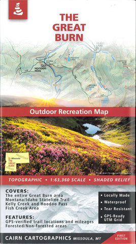
The Great Burn Outdoor Recreationa Map
-The entire Great Burn area
-Montana/Idaho Stateline Trail
-Kelly Creek and Hoodoo Pass
-Fish Creek area
Features:
-Topographic / Shaded Relief
-Forested and non-forested areas
-GPS verified trail locations and mileages
-1:63,360 Scale
-Contour interval: 100 feet
- Product Number: CAI_GREAT_BURN_20
- Reference Product Number: - None -
- ISBN: 9780999033418
- Date of Publication: 6/1/2020
- Folded Size: 8 inches high by 4 inches wide
- Unfolded (flat) Size: 39 inches high by 25 inches wide
- Map format: Folded
- Map type: Trade Maps - Park
- Geographical region: United States
- Geographical subregion: Idaho,Montana


