
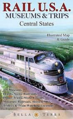
Rail U.S.A. : museums & trips : central states
Locates and describes 425 rail attractions from the Great Lakes to the Gulf Coast—the most comprehensive resource anywhere. Side 1 has a detailed shaded relief map, plus insets for areas around Minneapolis-St. Paul, Chicago, St. Louis, Detroit, Cleveland, and Cincinnati & Columbus. Illustrated with 16 specially commissioned watercolor paintings. Side 2 has an informative directory by state with venue descriptions, street addresses, phone numbers and websites. Icons denote: railroad museums & exhibits; original 19th & early 20th century depots; historic sites; trips – miniature trains to scenic excursions; dinner trains; trolleys; model trains; train-watching locations.
- Product Number: BTP_RAIL_USA_C_18
- Reference Product Number: 2343620M
- ISBN: 9781888216493
- Date of Publication: 6/1/2018
- Folded Size: 9.84 inches high by 5.91 inches wide
- Unfolded (flat) Size: 27.17 inches high by 38.98 inches wide
- Map format: Folded
- Map type: Trade Maps - Railway
- Geographical region: United States
- Geographical subregion: Alabama,Arkansas,Illinois,Indiana,Iowa,Kentucky,Louisiana,Michigan,Minnesota,Mississippi,Missouri,Ohio,Tennessee,Wisconsin


