
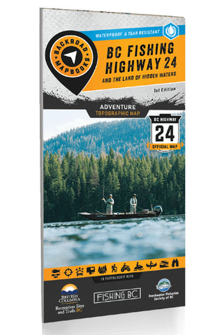
Fishing Highway 24 BC Recreation Map
Located within the stunning Cariboo Chilcotin Coast & Thompson Okanagan regions of British Columbia, the Land of Hidden Waters and BC Fishing Highway 24 corridor features some of the most well-known and best fishing lakes in the province. Highlighting lakes such as Adams Lake, Fawn Lake, Sheridan Lake, Barriere Lakes, Bridge Lake, Canim Lake, Green Lake, and Lac des Roches, and featuring regions from Kamloops to Clearwater, Logan Lake to Lac La Hache and 100 Mile House to Little Fort and surrounding areas including Wells Gray Provincial Park, this map is the perfect planning tool for anglers and outdoor enthusiasts of all skill levels. Whether you are looking for new local lakes to fish and explore or planning a multi-day road trip to this fantastic region, this map gives you the most comprehensive coverage available.
This special edition recreation map features an overview map of the Land of Hidden Waters on one side, with a zoomed-in map of the famed BC Fishing Highway 24 on the
- Product Number: BRM_F_HW24_22
- Reference Product Number: - None -
- ISBN: 9781989175101
- Date of Publication: 1/1/2022
- Folded Size: 9 inches high by 4 inches wide
- Unfolded (flat) Size: 46.25 inches high by 34 inches wide
- Map format: Folded
- Map type: Trade Maps - Outdoor Recreation Maps
- Geographical region: Canada
- Geographical subregion: British Columbia


