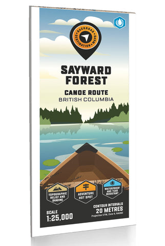
Sayward Forest Canoe Route Adventure Topographic Map
Sayward Forest Canoe Route Map BC
Highlighting the Sayward Forest Canoe Route near Campbell River, British Columbia, this map features the canoe route and its access point, campsites, portage trails with distance markers, fish species, hiking trails and recreation features in the area. Use for fishing, camping, exploring, canoeing, kayaking, wildlife viewing and more. With 1:10,000 water and road data, no other map for the area provides you with this level of recreational or topographic detail. Covering the entire canoe route and surrounding area, this 1:25,000 scale map includes Sayward Forest, Amor Lake, Brewster Lake, Goose Lake, Gray Lake, Lower Campbell Lake, Loveland Bay, Mohun Lake and more.
The printed version of the map is displayed at 1:25,000 scale on 61 x 94 cm (24 x 37 in) paper. There is the option to get this printed on regular water-resistant paper or a more durable water synthetic. There are also options for folded and unfolded, which includes the cover an
- Product Number: BRM_ADV_SAYWARD_23
- Reference Product Number: - None -
- ISBN: - None -
- Date of Publication: 12/1/2023
- Folded Size: 9 inches high by 4 inches wide
- Unfolded (flat) Size: 37 inches high by 24 inches wide
- Map format: Folded
- Map type: Trade Maps - Outdoor Recreation Maps
- Geographical region: Canada
- Geographical subregion: British Columbia

