
Lake Magog – Mount Assiniboine Prov Park Adventure Topographic Map
Lake Magog - Mount Assiniboine Provincial Park Map BC
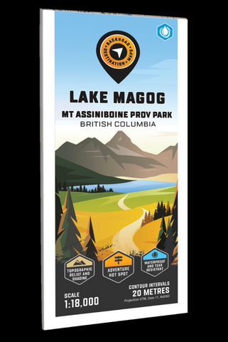
Covering the Lake Magog area of Mount Assiniboine Provincial Park, this BRMB Adventure topographic map shows you all the trails for hiking, cross-country skiing and horseback riding, backcountry huts and cabins, backcountry campsites, fishing lakes and rivers, waterfalls and more! No other recreation map provides you with this level of detail for the Lake Magog Area. Shown at 1:50,000 scale, this map features our industry-leading topographic contours and relief shading, plus bathymetric data (depth contours) for Lake Magog, Cerulean Lake and Gog Lake to help find that perfect fishing spot. Included on the map are Assiniboine Pass, Great Divide Trail, Mitchell River, Mount Assiniboine Lodge, Naiset Huts, Nub Peak, Og Meadows, Sunburst Lake, Sunburst Peak, Wedgewood Peak, Wonder Pass Falls and more!
The printed version of the map is displayed at 1:20,000 scale on 61 x 94 cm (24 x 37 in) paper on a durable waterproof synth
- Product Number: BRM_ADV_MAGOG_23
- Reference Product Number: - None -
- ISBN: - None -
- Date of Publication: 1/1/2023
- Folded Size: 9 inches high by 4 inches wide
- Unfolded (flat) Size: 37 inches high by 24 inches wide
- Map format: Folded
- Map type: Trade Maps - Outdoor Recreation Maps
- Geographical region: Canada
- Geographical subregion: British Columbia


