
Kananaskis Lakes – Peter Lougheed Provincial Park Adventure Topographic Map
Kananaskis Lakes - Peter Lougheed Provincial Park Map Alberta
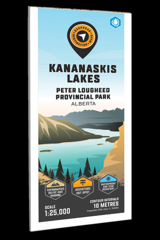
Focusing on the Kananaskis Lakes area of Peter Lougheed Provincial Park Alberta, this BRMB Adventure topographic map highlights all the highways and secondary roads, trails for hiking, cross-country skiing, mountain biking, snowshoeing and horseback riding, fishing lakes and rivers, picnic areas, campgrounds, viewpoints, waterfalls, fire lookouts and more! This Adventure map features our industry-leading topographic contours and relief shading along with lake bathymetry (depth contours) for the Upper and Lower Kananaskis Lakes. Also included on the map are Aster Lake, Canyon Campground, Elk Pass, Elpoca Falls, Great Divide Trail, Hidden Lake, Interlakes Campground, King Creek Picnic Area, Lower Lake Campground, Mount Warspite, Pocaterra Trail, Rawson Lake, Smith Dorrien Creek and more!
The printed version of the map is displayed at 1:25,000 scale on 61 x 94 cm (24 x 37 in) paper on a durable waterproof synthetic m
- Product Number: BRM_ADV_KANANA_23
- Reference Product Number: - None -
- ISBN: - None -
- Date of Publication: 9/1/2023
- Folded Size: 9 inches high by 4 inches wide
- Unfolded (flat) Size: 37 inches high by 24 inches wide
- Map format: Folded
- Map type: Trade Maps - Outdoor Recreation Maps
- Geographical region: Canada
- Geographical subregion: Alberta


