
Desolation Sound Provincial Park Adventure Topographic Map
Desolation Sound Provincial Park Map BC
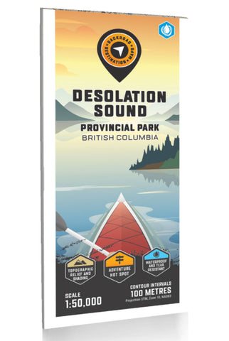
This BRMB Adventure topographic map for the Desolation Sound Area of BC highlights all the islands, channels and inlets, campsites, paddling routes, parks, trails and recreation features in the area. Covering 960 sq. km (370 sq. mi) in total, this map can be used for camping, canoeing, kayaking, exploring, fishing and wildlife viewing, and charts the areas of Desolation Sound Marine Park, Bliss Landing, Copeland Islands Marine Park, Cortes Island, Curme Islands, East Redonda Island, Lund, Malaspina Peninsula, Okeover Inlet, Roscoe Bay, Sarah Point, Savary Island, Sunshine Coast Trail, Tenedos Bay, Unwin Lake, West Redonda Island and more!
The printed version of the map is displayed at 1:50,000 scale on 61 x 94 cm (24 x 37 in) paper on a durable waterproof synthetic material. The Wall Maps have been customized to display nicely and fit into common picture frame sizes so you can hang on the cabin, home or workshop wall. They are available i
- Product Number: BRM_ADV_DESOLATION_23
- Reference Product Number: - None -
- ISBN: - None -
- Date of Publication: 12/1/2023
- Folded Size: 9 inches high by 4 inches wide
- Unfolded (flat) Size: 37 inches high by 24 inches wide
- Map format: Folded
- Map type: Trade Maps - Outdoor Recreation Maps
- Geographical region: Canada
- Geographical subregion: British Columbia


