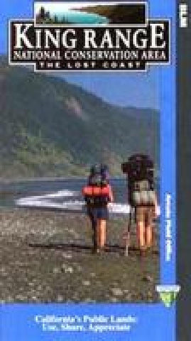
King Range National Conservation Area - The Lost Coast Hiking Map
The map covers all of the King Range NCA, from north of Punta Gorda Lighthouse to south of Shelter Cove/Seal Rock. The front of the map has a detailed topographic map showing the topography of the King Range area of Northern California. Hiking and horse trails, camping information, park facilities, and other information are noted on the map. The front also has summaries of the 10 most popular trails in the NCA. The reverse side has information on the main features of the area and suggestions for things to do and see.
- Product Number: BLM_KR_
- Reference Product Number: 2293945M
- ISBN: - None -
- Folded Size: 9 inches high by 5 inches wide
- Unfolded (flat) Size: 25 inches high by 27 inches wide
- Map format: Folded
- Map type: Trade Maps - Hiking
- Geographical region: United States
- Geographical subregion: California


