
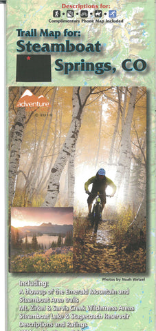
Steamboat Springs, CO, Trail Map
The Steamboat Springs Adventure Map is a waterproof, topographic trail map (lat/long,UTM grids) that includes route descriptions covering trails throughout the Steamboat Springs area as well as the Mount Zirkel Wilderness, Sarvis Creek Wilderness, and Routt National Forest. It includes descriptions for 18 of the best mountain bike rides, 11 road bike rides, 12 hikes, 7 equestrian rides, and 9 winter recreation (xc ski, fat bike, snow shoe) routes. The map includes a blowup of Steamboat Springs (city, both ski resorts). Other user groups, including, Fisherman and Hunters, will also find this map very useful as it accurately shows all streams, lakes, roads, and land ownership boundaries.
- Product Number: ADV_STEAM_18
- Reference Product Number: - None -
- ISBN: 9781933783567
- Date of Publication: 6/1/2018
- Folded Size: 9.84 inches high by 3.94 inches wide
- Unfolded (flat) Size: 23.43 inches high by 38.58 inches wide
- Map format: Folded
- Map type: Trade Maps - Hiking
- Geographical region: United States
- Geographical subregion: Colorado


