
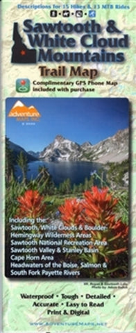
Sawtooth and White Cloud Mountains Trail Map
The Sawtooth & White Cloud Mountains Adventure Map is a waterproof, topographic trail map that includes route descriptions covering trails throughout the Sawtooth & White Cloud Mountains including the Sawtooth Wilderness, Sawtooth National Recreation Area, Sawtooth Valley, Stanley Basin, Cape Horn Area, Headwaters of the Boise, Salmon, and the South Fork Payette Rivers. It includes details for 15 mountain bike rides, 15 hikes, and 5 X/C ski trails. Fishermen, Hunter, Equestrians, and OHV riders will also find this map very useful as it accurately shows all streams, lakes, roads, and land ownership boundaries.
- Product Number: ADV_SAWTOOTH_20
- Reference Product Number: - None -
- ISBN: 9781933783697
- Date of Publication: 6/1/2020
- Folded Size: 9.84 inches high by 4.33 inches wide
- Unfolded (flat) Size: 27.17 inches high by 38.98 inches wide
- Map format: Folded
- Map type: Trade Maps - Park
- Geographical region: United States
- Geographical subregion: Idaho


