
Oakridge, Oregon Trail Map
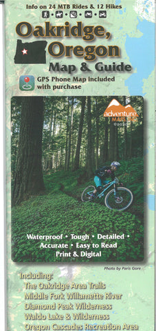
The Oakridge, Oregon trail map from Adventure Maps, Inc. is a waterproof, topographic map that includes route descriptions for trails in the Oakridge area including the Middle & North Forks of the Williamette River, Diamond Peak Wilderness, Waldo Lake & Wilderness, Oregon Cascades Recreation Area, Bunchgrass Ridge, and Williamette Pass. This map includes detailed route descriptions for 21 of the mountain bike rides in the area. Hikers and Equestrians will also find this map very useful as it accurately shows all trails with mileage points, streams, lakes, roads, and land ownership boundaries.
- Product Number: ADV_OAKRIDGE_20
- Reference Product Number: - None -
- ISBN: 9781933783734
- Date of Publication: 6/1/2020
- Folded Size: 9.84 inches high by 3.94 inches wide
- Unfolded (flat) Size: 26.38 inches high by 38.58 inches wide
- Map format: Folded
- Map type: Trade Maps - Hiking
- Geographical region: United States
- Geographical subregion: Oregon


