
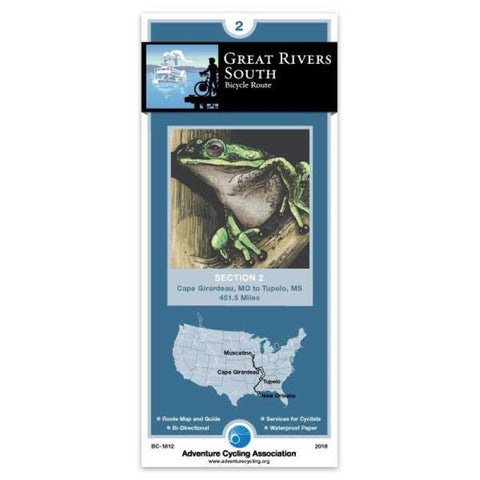
Great Rivers South Bicycle Route #2
At Cape Girardeau the route crosses the Mississippi River. The state highways in Illinois are wide two-lane roads with moderate traffic and no shoulders. Most of the rest of the route is over narrow two-lane county roads with no shoulder and very little traffic. In western Kentucky the route follows very lightly traveled county roads over short steep hills. The Trace Road through the Land Between the Lakes Recreation Area is a two-lane road with no shoulders and light to moderate traffic. No commercial vehicles are allowed and a 45 mph speed limit is strictly enforced. In Tennessee, the route travels over exhausting roller coaster hills mostly on well maintained two-lane county and state roads. Near Shady Grove the route joins the Natchez Trace Parkway. The Natchez Trace offers two-lane roads with no shoulders and light traffic. The width of the Trace is 400 to 1000 feet, with wider right-of-way areas of historical, scientific, and recreational value.; ; ; ABOUT ADVENTURE CYCLING MAP
- Product Number: ADCY_BC_1812_18
- Reference Product Number: - None -
- ISBN: 9780935108484
- Date of Publication: 10/1/2018
- Folded Size: 8.25 inches high by 3.75 inches wide
- Unfolded (flat) Size: 24 inches high by 18 inches wide
- Map format: Folded
- Map type: Trade Maps - Bicycling
- Geographical region: United States
- Geographical subregion: Alabama,Illinois,Kentucky,Mississippi,Missouri,Tennessee


