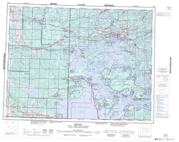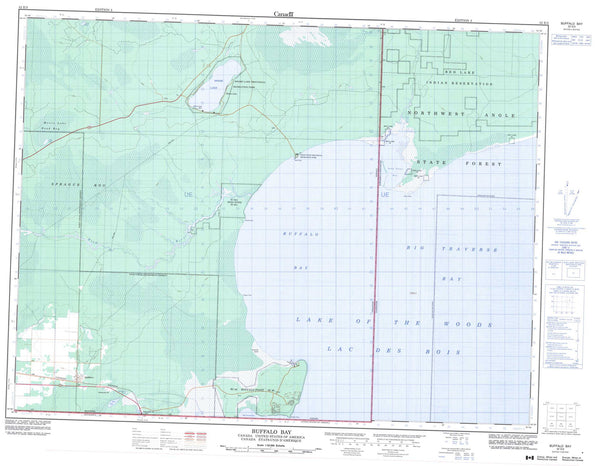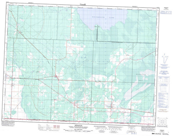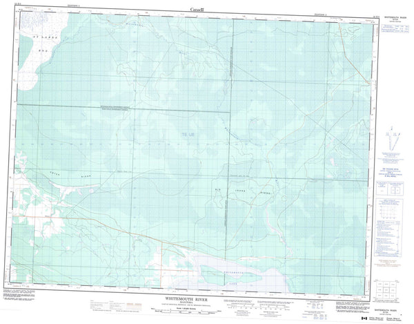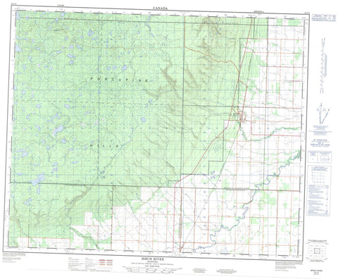
063C06 Birch River Canada topo map, 1:50,000 scale
063C06 Birch River NRCAN topographic map.
Includes UTM and GPS geographic coordinates (latitude and longitude). This 50k scale map is suitable for hiking, camping, and exploring, or you could frame it as a wall map.
Printed on-demand using high resolution, on heavy weight and acid free paper, or as an upgrade on a variety of synthetic materials.
Topos available on paper, Waterproof, Poly, or Tyvek. Usually shipping rolled, unless combined with other folded maps in one order.
- Product Number: NRCAN-063C06
- Parent Topo: TOPO-063C
- Map ID also known as: 063C06, 63C6, 63C06
- Unfolded Size: Approximately 26" high by 36" wide
- Weight (paper map): ca. 55 grams
- Map Type: POD NRCAN Topographic Map
- Map Scale: 1:50,000
- Geographical region: Manitoba, Canada
Neighboring Maps:
All neighboring Canadian topo maps are available for sale online at 1:50,000 scale.
Purchase the smaller scale map covering this area: Topo-063C
Spatial coverage:
Topo map sheet 063C06 Birch River covers the following places:
- Sinclairs Bluff - Brandt Drain - McKinley Drain - Schlagg Drain - Wuskwi Sipihk First Nation 2 - Birch Lakes - Blackjack Lake - Boot Lake - Cart Lake - Cross Lake - Detour Lake - Donut Lake - Fisher Lake - Fox Lake - Frenchy Lake - Gull Lake - Halfmoon Lake - Halls Lake - Hart Lake - Horn Lake - Indian Lake - Junction Lake - Kennedy Lake - Key Lake - Last Lake - Leclair Lake - Little Moose Lake - Little Swan Lake - Mallard Lake - Mixture Lake - Moosehead Lake - Mossy Lake - Mystery Lake - North Mud Lake - Olson Lake - Otter Lake - Rabbit Lake - Rain Lake - Rat Lake - Road Lake - Round Lake - Scottys Lake - Shell Lake - Silt Lake - Sock Lake - South Boot Lake - Stanton Lake - Stinky Lake - Swamp Lake - Teepee Lake - Tie Road Lake - Two Lakes - Willow Lake - Winchester Lake - Wolf Lakes - Hart Mountain - Porcupine Hills - Spy Hill - Minitonas - Mountain - Swan River - Porcupine Provincial Forest - Primrose Provincial Park - Bear Creek - Birch River - Blackjack Creek - Bowsman River - Bowsman River - Camp Nine Creek - East Smith Creek - Fishtown Creek - Fox Creek - Friday Creek - Haggarty Creek - Hart Creek - Hubbell Creek - Hubbell Creek - Kematch River - Kemulch Creek - Little Kemulch Creek - Maple Creek - Martin Creek - McLure Creek - Mudlen Creek - Mullin Creek - Olson Creek - Robinson Creek - Shell Creek - Smith Creek - Stanton Creek - Swede Creek - Willow Creek - Woody River - Birch River

