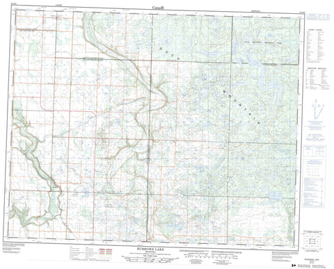
062N06 Burrows Lake Canada topo map, 1:50,000 scale
062N06 Burrows Lake NRCAN topographic map.
Includes UTM and GPS geographic coordinates (latitude and longitude). This 50k scale map is suitable for hiking, camping, and exploring, or you could frame it as a wall map.
Printed on-demand using high resolution, on heavy weight and acid free paper, or as an upgrade on a variety of synthetic materials.
Topos available on paper, Waterproof, Poly, or Tyvek. Usually shipping rolled, unless combined with other folded maps in one order.
- Product Number: NRCAN-062N06
- Parent Topo: TOPO-062N
- Map ID also known as: 062N06, 62N6, 62N06
- Unfolded Size: Approximately 26" high by 36" wide
- Weight (paper map): ca. 55 grams
- Map Type: POD NRCAN Topographic Map
- Map Scale: 1:50,000
- Geographical region: Manitoba, Canada
Neighboring Maps:
All neighboring Canadian topo maps are available for sale online at 1:50,000 scale.
Purchase the smaller scale map covering this area: Topo-062N
Spatial coverage:
Topo map sheet 062N06 Burrows Lake covers the following places:
- Upper Dam - Ableson Lake - Anderson Lake - Arm Lake - Bailey Lake - Barrier Lake - Barts Lake - Bath Lake - Bay Lake - Berth Lake - Beven Lake - Big Meadow Lake - Blanche Lake - Boomerang Lake - Boone Lake - Boundary Lake - Britchers Lake - Burrows Lake - Cabin Lake - Cecil Lake - Chain Lake - Chubb Lake - Chubb Lake - Clarke Lake - Claw Lake - Code Lake - Connon Lake - Correction Lakes - Cowan Lake - Craiginnan Lake - Crerar Lake - Crooked Lake - Dark Lake - Deep Lake - Deering Lakes - Dew Lake - Dollar Lake - Double Lake - Drum Lake - Dry Lake - East Angling Lake - Elbow Lake - Emerald Lake - Ermine Lake - Flatfoot Lake - Hark Lake - Highland Lake - Holdstock Lake - Holm Lake - Home Lake - Hrynchuk Lake - Hudson Bay Lake - Jackfish Lake - Johnson Lake - Kelly Island Lake - Kennedy Lake - Kennedy Lakes - Klemecki Lake - Lloyd Lakes - Lorne Lake - Lunch Lake - Mallard Lake - Manitoba Lake - Manson Lake - McBride Lakes - McBride Lakes - McColm Lake - Menzul Lake - Mitchell Lake - Moon Lake - Moose Lake - Moze Lake - Newman Lakes - North Angling Lake - North Lunch Lake - Orm Lake - Peninsula Lake - Phoneline Lake - Pike Lake - Pike Lake - Pye Lake - Rag Lake - Ramsey Lakes - Ranch Lake - Reeds Lake - Reedy Lake - Reubens Lake - Rooster Lake - Roy Lake - Rush Lake - Shany Lake - Shepton Lake - Sifton Lake - Sinnott Lake - Sjolin Lake - Smart Lake - Soldier Lake - South Angling Lake - South Fish Lake - Spring Lake - Spur Lake - Start Lake - Stephens Lake - Tamarack Lake - Tank Lake - Torowski Lake - Track Lake - Twilight Lake - Twilight Lakes - Vera Lake - Walker Lake - West Angling Lake - West Shanty Lake - Yaap Lake - Duck Mountain - Hillsburg - Shell River - Duck Mountain Provincial Forest - Duck Mountain Provincial Park - Duck Mountain Wildlife Refuge - Big Boggy Creek - Dark Lake Creek - Jump Creek - Line Creek - Shell River - Short Creek - Sucker Creek - Valley River - Deepdale - Duck Mountain - McLean - Merridale - San Clara - Silverwood - Zelena - Anderson Meadow - Horseshoe Meadow - Shiners Meadow

