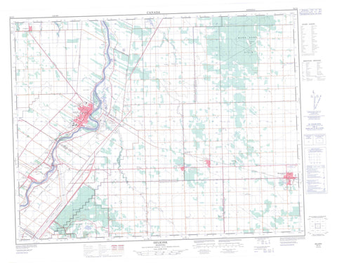
062I02 Selkirk Canada topo map, 1:50,000 scale
062I02 Selkirk NRCAN topographic map.
Includes UTM and GPS geographic coordinates (latitude and longitude). This 50k scale map is suitable for hiking, camping, and exploring, or you could frame it as a wall map.
Printed on-demand using high resolution, on heavy weight and acid free paper, or as an upgrade on a variety of synthetic materials.
Topos available on paper, Waterproof, Poly, or Tyvek. Usually shipping rolled, unless combined with other folded maps in one order.
- Product Number: NRCAN-062I02
- Parent Topo: TOPO-062I
- Map ID also known as: 062I02, 62I2, 62I02
- Unfolded Size: Approximately 26" high by 36" wide
- Weight (paper map): ca. 55 grams
- Map Type: POD NRCAN Topographic Map
- Map Scale: 1:50,000
- Geographical region: Manitoba, Canada
Neighboring Maps:
All neighboring Canadian topo maps are available for sale online at 1:50,000 scale.
Purchase the smaller scale map covering this area: Topo-062I
Spatial coverage:
Topo map sheet 062I02 Selkirk covers the following places:
- Selkirk - St. Andrews - St. Clements - St. Paul - St. Pauls - St. Peters - Bruneau Drain - Canal de dérivation de la Rivière Rouge - Cloverdale Road Drain - Red River Floodway - Township Line Drain - Peguis 1H - Peguis 1I - Crescent Island - Sugar Island - Beausejour Pond - Birds Hill Lake - Garson Pond - Glass Lake - Kingfisher Lake - Upper Devil Lake - Griffiths Hill - Mars Sand Hills - Pope John Paul II Hill - Wolverine Hill - Brokenhead - East St. Paul - Springfield - St. Andrews - St. Clements - Birds Hill Provincial Park - Lieu historique national du Canada de Lower Fort Garry - Lieu historique national du Canada du Presbytère-St. Andrew's - Lockport Provincial Park - Lower Fort Garry National Historic Site of Canada - Mars Hill Wildlife Management Area - River Road Provincial Park - St. Andrew's Rectory National Historic Site of Canada - Cook Creek - Cooks Creek - Devil Creek - Devils Creek - Dubas Creek - Gunns Creek - Medicine Creek - Mirey Creek - Muckle Creek - Red River - Rivière Rouge - Satans Creek - La Vérendrye Trail - St. Peters Dynevor Bridge - Beausejour - Bradbury - Brainerd - Clandeboye - Cooks Creek - Dynevor - East Selkirk - East Selkirk Station - Fort Garry - Fullers - Garson Quarry - Garson Quarry Station - Gonor - Gonor Station - Hazelglen - Highland Glen - Kirkness - Less Crossing - Little Britain - Lockport - McDonald - Melrose - Narol - Old England - Peguis - Pine Ridge - Saldo - Sand Hill - Sapton - Sebright - Semple - St. Andrews - Tyndall - Victoria Park - Walkleyburg - West Pine Ridge - Garson - Lyall

