
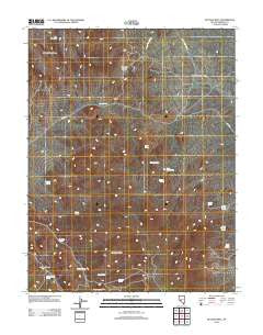
~ Bettles Well NV topo map, 1:24000 scale, 7.5 X 7.5 Minute, Historical, 2012
Bettles Well, Nevada, USGS topographic map dated 2012.
Includes geographic coordinates (latitude and longitude). This topographic map is suitable for hiking, camping, and exploring, or framing it as a wall map.
Printed on-demand using high resolution imagery, on heavy weight and acid free paper, or alternatively on a variety of synthetic materials.
Topos available on paper, Waterproof, Poly, or Tyvek. Usually shipping rolled, unless combined with other folded maps in one order.
- Product Number: USGS-5585215
- Free digital map download (high-resolution, GeoPDF): Bettles Well, Nevada (file size: 21 MB)
- Map Size: please refer to the dimensions of the GeoPDF map above
- Weight (paper map): ca. 55 grams
- Map Type: POD USGS Topographic Map
- Map Series: US Topo
- Map Verison: Historical
- Cell ID: 3560
- Datum: North American Datum of 1983
- Map Projection: Transverse Mercator
- Map Cell Name: Bettles Well
- Grid size: 7.5 X 7.5 Minute
- Date on map: 2012
- Map Scale: 1:24000
- Geographical region: Nevada, United States
Neighboring Maps:
All neighboring USGS topo maps are available for sale online at a variety of scales.
Spatial coverage:
Topo map Bettles Well, Nevada, covers the geographical area associated the following places:
- Pilot Mountains Mining District - Garnet Mine - Black Jack Spring - Mammoth Mine - Lindsey Mine - Coveney Mine - Tim Holt Summit - Cinnabar Spring - Copper Chief Mine - Klondike (historical) - Mitchell Spring - Bettles Well - Point of Hill Spring - Roadside Spring - Graham Spring - South Mitchell Spring - Sullivans Camp (historical) - Mitchell Spring - Drew Mine - Davis Spring - Gunmetal Mine - Corner Spring - Bettles Mine - Warner Corral Spring - Lakeview Mine - Clay Peters Mine - Wild Cat Spring - Taylor Spring - Redwing Mine - Bettles Ranch Spring - Table Mountain - Keg Mine - Yellow Spring - Kope Scheelite Mine - Cedar Mountain Well - Millsite Spring
- Map Area ID: AREA38.538.375-118-117.875
- Northwest corner Lat/Long code: USGSNW38.5-118
- Northeast corner Lat/Long code: USGSNE38.5-117.875
- Southwest corner Lat/Long code: USGSSW38.375-118
- Southeast corner Lat/Long code: USGSSE38.375-117.875
- Northern map edge Latitude: 38.5
- Southern map edge Latitude: 38.375
- Western map edge Longitude: -118
- Eastern map edge Longitude: -117.875


